
[arXiv PrePrint]
![Scenes rendered per \(512^2\) environment maps. [Centre] Our DNN sky-model (Fig.\(\textcolor{red}{b}\), per \(\textcolor{red}{R}\textcolor{green}{G}\textcolor{blue}{B}\)-Icarus with Robertson fusion) recreates the illumination, tones and light transmission of real-world Full Dynamic Range imagery (\(\textit{FDR}\) ground truth in Fig.\(\textcolor{red}{a}\)). Icarus accurately models solar illumination for unprecedented lighting directionality (shadows, Fig.\(\textcolor{red}{c}\)). [Border] Icarus enables intuitive user-control over positioning and styling of solar and atmospheric formations.](/deep_sky/icarus/icarus_header.png)
Icarus
Scenes rendered per \(512^2\) environment maps. [Centre] Our DNN sky-model (Fig.\(\textcolor{red}{b}\), per \(\textcolor{red}{R}\textcolor{green}{G}\textcolor{blue}{B}\)-Icarus with Robertson fusion) recreates the illumination, tones and light transmission of real-world Full Dynamic Range imagery (\(\textit{FDR}\) ground truth in Fig.\(\textcolor{red}{a}\)). Icarus accurately models solar illumination for unprecedented lighting directionality (shadows, Fig.\(\textcolor{red}{c}\)). [Border] Icarus enables intuitive user-control over positioning and styling of solar and atmospheric formations.
[Read More]AllSky - 3DV'26
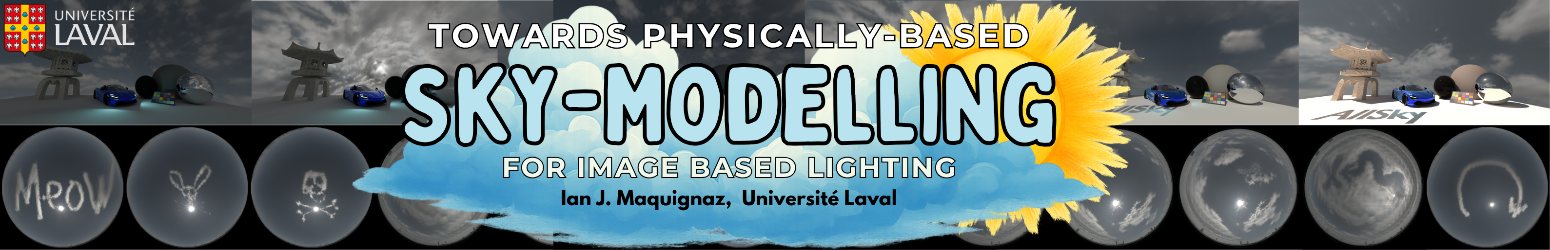
Towards Physically-Based Sky-Modeling For Image Based Lighting
Abstract
Accurate environment maps are a key component to modelling real-world outdoor scenes. They enable captivating visual arts, immersive virtual reality and a wide range of scientific and engineering applications. To alleviate the burden of physical-capture, physically-simulation and volumetric rendering, sky-models have been proposed as fast, flexible, and cost-saving alternatives. In recent years, sky-models have been extended through deep learning to be more comprehensive and inclusive of cloud formations, but recent work has demonstrated these models fall short in faithfully recreating accurate and photorealistic natural skies. Particularly at higher resolutions, DNN sky-models struggle to accurately model the 14EV+ class-imbalanced solar region, resulting in poor visual quality and scenes illuminated with skewed light transmission, shadows and tones. In this work, we propose AllSky, an all-weather sky-model capable of learning the exposure range of Full Dynamic Range (FDR) physically captured outdoor imagery. Our model demonstrates conditional multi-exposure image environment map generation with intuitive user-positioning of solar and cloud formations, extending the current state-of-the-art to user-controlled texturing of atmospheric formations. Through our evaluation, we demonstrate AllSky is interchangeable with FDR physically captured outdoor imagery or parametric sky-models, and illuminates scenes with unprecedented accuracy, photorealism, lighting directionality (shadows), and tones in Image Based Lighting (IBL).
[Read More]